CCTV News: May 12, 2025 is the 17th National Disaster Prevention and Reduction Day. The reporter learned from the Ministry of Natural Resources that in 2025, extreme climate events across the country will generally occur, and the situation of geological disaster prevention and control remains severe and complex. How to scientifically prevent geological disasters? At present, my country has achieved active prevention and control of major disasters through the integrated monitoring technology system of "space and earth".
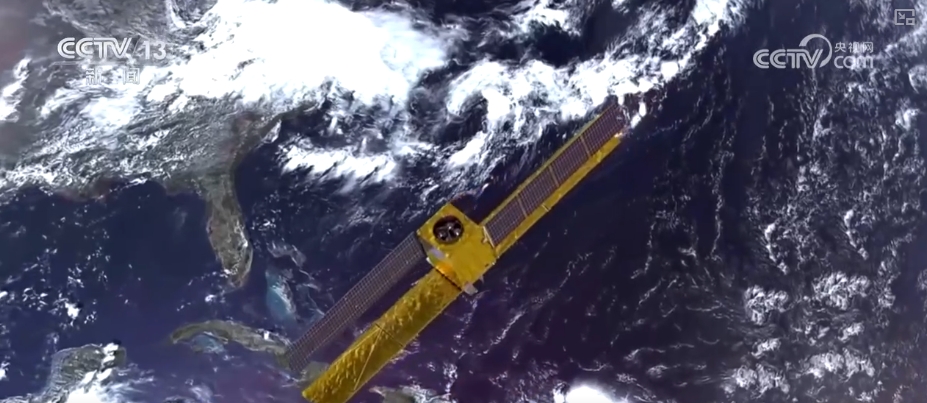
At present, more than 10 remote sensing satellites in my country have been used in the prevention and control of major natural disasters, including optical satellites and synthetic aperture radar satellites.
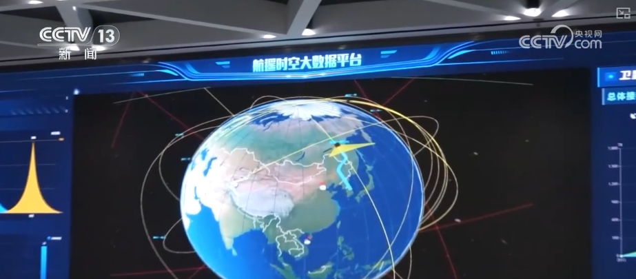
From 2020 to the present, the natural resources department has begun to use remote sensing satellites to identify geological disaster hazards. Up to now, more than 46,000 major geological disaster hazards have been identified nationwide.
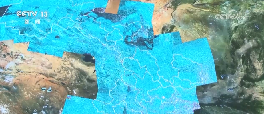
Ge Daqing, director of the Remote Sensing Technology Research Institute of China Natural Resources Aviation Georgia Remote Sensing Center, introduced that in provinces such as Gansu, Qinghai, Sichuan and Yunnan, the accuracy of identification of some large hidden dangers reaches 80%. It will be of great help and promote the area where ground survey work is difficult to reach.
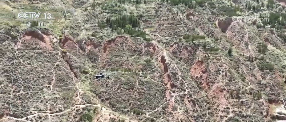
After the satellite identified the risk source, the low-altitude observation of the aviation drone can further improve the degree of identification. Combined with ground investigation, the risk points of geological disasters can be determined and corresponding preventive measures can be taken. Through satellite, drone and ground investigation, my country can actively prevent and control major disasters.
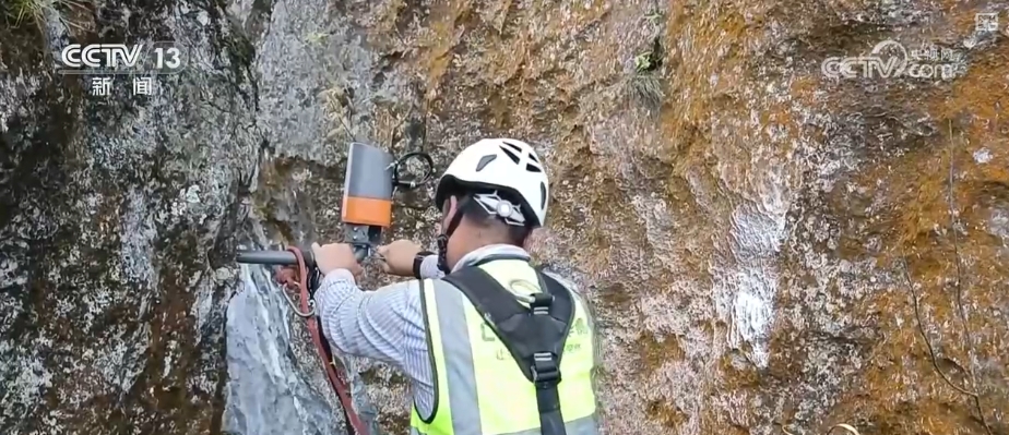
In recent years, my country has also implemented real-time monitoring of geological disaster risks by installing Beidou landslide monitors, mud level gauges and other sensors at geological disaster hazard points. The Beidou landslide monitor can measure surface deformation with the accuracy of reaching millimeters. At present, 27 provinces across the country have built automated monitoring stations, covering more than 70,000 potential geological disaster risk points.